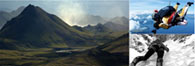

Little did I realise the journey I was leaving on, when Mike invited me to launch our sea kayaks from the beach at Bosta on the west coast of the Isle of Lewis towards Bearrasaigh, the island stronghold of Neil Macleod the pirate. Thirteen years of adventures later I am close to completing my circumnavigation of the Outer Hebrides. On the map in my office I have been trying to join the dots by paddling the whole of the coastline; like all maps it tells a million stories and here is a taste of my map tales:
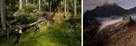
The Outer Hebrides lay at 58°N pushing out into the Atlantic less than five hundred miles south of the Arctic Circle. Over one hundred and forty miles long and about twenty miles from the mainland, they protect the north west of Scotland from the ravages of the Atlantic gales: Nine inhabited islands; connected by causeways or separated by Sounds crossed by ferry, about twenty seven thousand people and one of the last strongholds of Scots Gaelic.

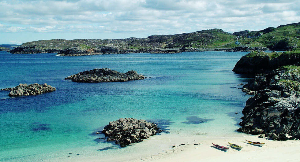
WH Murray, who wrote the classic Mountaineering in Scotland, described the view from Toe Head in Harris over the Sound of Harris as one of the finest views in Scotland. The Sound separates Harris and North Uist and is made up of a myriad of islands and islets; I once lost a week guiding clients, camping on the islands and exploring:
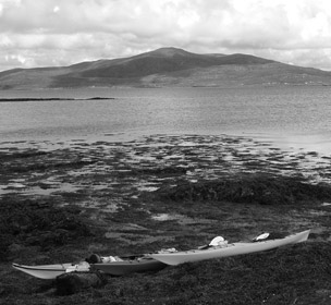
Boats packed, we set off from An t-Ob from the ferry slip and headed out to the island of Easaigh camping on the machair (the fertile land between the beach and the moor) overlooking a white sand bay. From here over the next few days we paddled across to North Uist and headed into Loch Mhic Phail.
When crossing the Sound the tides shouldn’t be under-estimated to quote the Admiralty Pilot: ‘Tidal streams in the Sound of Harris appear to be very much affected by diurnal inequality and to be almost diurnal during neap tides’ So in some days instead of running for approximately six hours in one direction and then six hours in the other it goes for half the day one way then the other half the day for the other, local fishermen tell me it is more predictable in the winter.
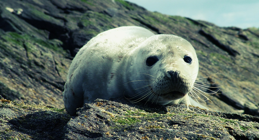
At the head of Loch Mhic Phail there is a short portage into Loch nam Madadh, I ensured we got there at the top of the tide so we wouldn’t have a long wade through the mud. The paddle through Loch nam Madadh is a maze where a weather eye on the map prevents wrong turnings and we were treated to an otter (Lutra lutra) feeding on a kelp covered rock.
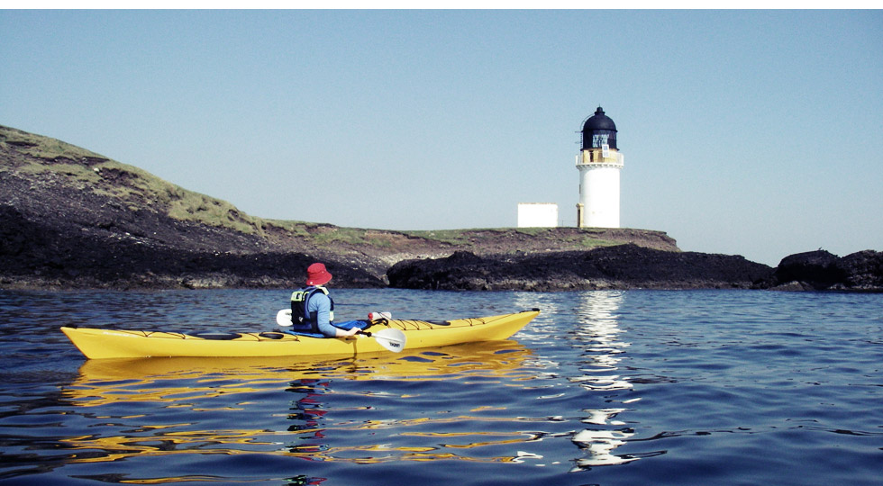
The next leg of our journey was past Rubha an Faigheadair (Weavers Point) where tide leaving the loch causes a turbulent stretch of water just to enough to get the blood racing. This behind us we turned north below the imposing cliffs heading for the south eastern end of the Sound is reached. There we explored the islands at the eastern end and discovered more beautiful camp spots as we gradually wended our way to Rodel on the north eastern corner. Here there is the medieval church, hotel and camp spot.
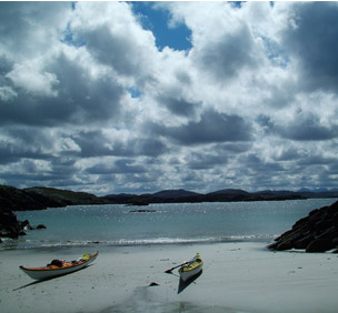
The final stretch back to An t-Ob took us through the islands on the northern coast with birds diving, seals and otters swimming.
In the Sound we saw both the beauty and the horror of nature; an inquisitive young seal coming up round the boats trying and work out what we were and a greater black back gull (Larus marinus) mobbing, drowning and then eating a greylag gosling (anser anser). It is a place I keep returning to for the rawness of the environment.